
Starting Point - Cononley Station. Out and Back walk. 3.4 Miles Total.
Map Today 1853 Map (mine below the top right of the sheet).
Within walking distance of Cononley station near Skipton is an industrial history gem in the hills. Several websites have found this "hidden gem", a Google search for Cononley Lead Mine will produce several accounts. The 28 Days Later page gives a good historical account of the site and exploration of it today, I recommend reading this account for more of the history of the site rather than my repeating it here.
Though lead mining in the area can be traced back to 1532, the buildings and earthworks that can be seen today date from the early 19th Century.
Next to the gate to access the site from its access road is the old Smithy building.

The most substantial building on the site is the engine house and chimney, looking more like those that can be found in Cornwall from the tin mining that once took place there.


Just to the east of the Engine House is the mine shaft, presumably this would have been connected by rods to the engine?

Below - Peering in through this entrance we can see the shaft itself.

Below - At the time of my visit the capping of the top of the shaft looked to have not long since replaced with a substantial metal grille. Unfortunately my camera was not one I could have used to take a shot through the grille looking down the shaft, I've seen this done on other sites. I plan on going back next winter and will try this next time.

Below - A small concrete structure on the north side of the vertical shaft. In the years after closure of the mine there was occasional extraction of Barium Sulphate at the site up until 1958. This is probably a remnant from this later era.

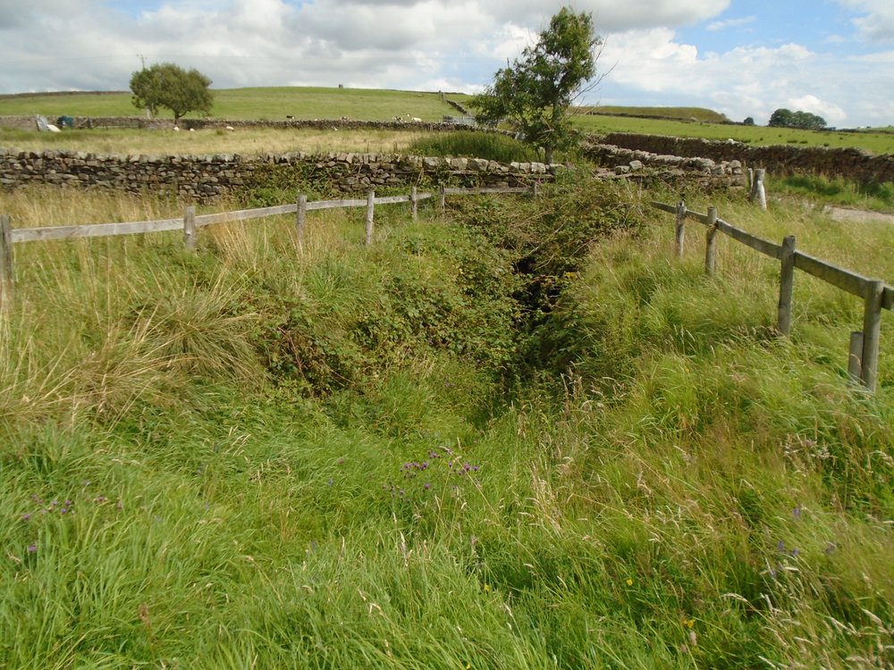
Below - East of the vertical shaft was a drift shaft, the shaft entrance was in the vegetation on the right (I'll do a closer shot below). There looks to have been a winding engine base here. On the left of the is the mine's magazine building.


No comments:
Post a Comment