A short walk around the Ribblehead area from the station
The Friends of the Settle - Carlisle Line run a couple of series of walks. Centred on the visitor centre on Ribblehead station are the Footsteps in Time tours of the area around Ribblehead viaduct. When it was built works sites were established and shanty towns sprung up around the site. Many of the buildings were temporary wooden structures which were removed when the work was completed but there are still remnants of the construction site that can be seen today.
Above - The 24 arch Ribblehead viaduct. When the viaduct was constructed the land seen at the foot of the viaduct would have been covered with temporary buildings.
Below - Map of the works site at Ribblehead on display in the visitor centre in the station building. Click on the picture to enlarge.
From the visitor centre in the station building we started with some talks about the viaduct and a chance to look at the displays. We walked to the foot of the viaduct where we had a talk by one of the key engineers involved about the repairs to the viaduct in the 1990s when the line had been reprieved from the threat of closure.
Below - The path to the foot of the viaduct seen from nearby the Station Inn.
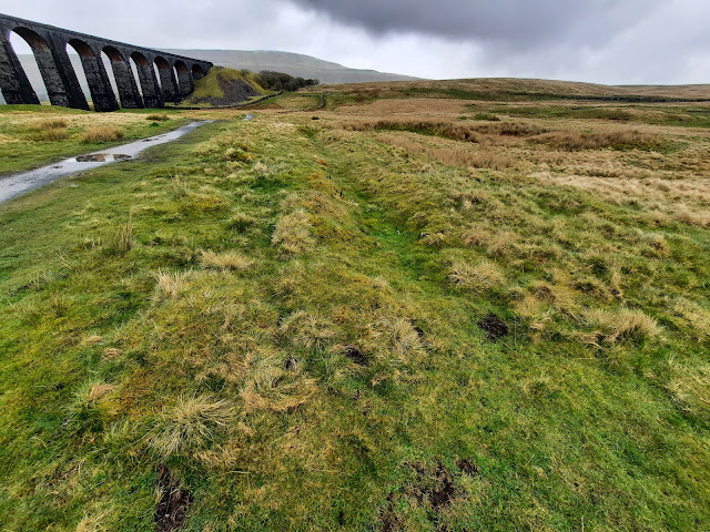
Below - Diverging from the path the course of one of the narrow gauge "tramway" railway lines around the site can clearly be seen.
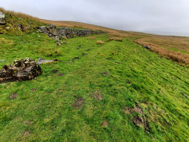
Below - At this point (Point H on the above map) there were the locomotive sheds to maintain the locomotives for the railway system that connected the foot of the viaduct and the top of the viaduct with the quarries and brickworks. The remains of the inspection pit beneath the tracks can be seen.
Below - One of the clay pits used by the nearby brickworks.
Below - The viaduct seen from the foot.
After the talk about the 90s repairs to the viaduct we continued to the course of the narrow gauge tramway that connected the top of the viaduct at the north end with the quarry sites and stone masons yards.
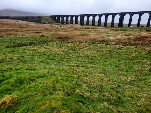
Below - The viaduct seen from the course of the tramway.
Below - The quarry face on the left and former stone masons yards (A on the map). The tramway can be seen curving off to the right.
Below - Some discarded stones at the side of the former tramway. Possibly the scene of an accident on the tramway.
Below - One of the quarry faces.
Below - Some of the discarded stones, an explanation is given on how the stones were split.
Below - The tramway heads towards the works buildings and shanty town near the foot of the viaduct.
Below - A piece of old narrow gauge rail sticking out of the ground, possibly redundant rail that had been put in the ground to stabilise the tramway embankment.
Below - The former tramway curves towards the path we started from.
Below - Remains of an office and store building (B on the map)
Below - Square outline of a large building around the part of the site known as Sebastapol (D on the map)
Below - Remains of a lime kiln (E on the map).
Below - More quarries (F on the map)
Below - The two small humps at ground level are the site of the brickworks chimneys.
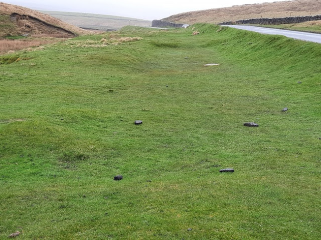
Below - Around Gauber Road the footings of some of the shanty town buildings can be seen (J on the map). Here on the north side of the road are the sites of a couple of rows of workers houses.
Below - The site of a small chapel that served the workers village.
From here it was a short walk back to the station where there was chance to get refreshments before my train home appeared across the viaduct. A few regular tours are operated around the Ribblehead site, the tour I joined was the Shanty Site & Viaduct Tour. I will at some point return for the Trail & Tramways tour which explores the tramway a bit further.


No comments:
Post a Comment