Starting Point - Brighouse Station. Finishing Point - Sowerby Bridge Station. Distance 7 Miles.
Google Map
1893 Map
Rail Map Online (Canal Maps) view
Continuing from previous walks along the Calder & Hebble Navigation from Wakefield to Dewsbury and Dewsbury to Brighouse I started this walk at Brighouse for the final section to the end of the canal at Sowerby Bridge.
From Brighouse station is a short walk along Huddersfield Road over the River Calder at Calder Bridge and the canal at Canal Bridge, the former towpath can be joined here on the north side of the canal.
Below - The former Upper Mill.
Below - Ganny Lock.
Below - Surplus WW2 Nissen Hut at Brook Foot Mill, after the war many of these were used by mills and factories as an easy means of expansion while building materials were sought after for rebuilding work.
Below - Brook Foot Lock, also shown on the old map above as Freeman's Mill Lock. On the left of the picture a channel from the River Calder can be seen, there are remnants of there having been lock gates on this channel, this is because the following section of canal "Freeman's New Cut" was a later addition and previously boats heading towards Sowerby Bridge would have joined the river here.
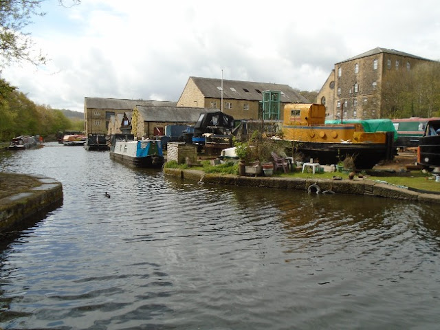
Below - The former Brook Foot Wharf on the left and Brook Foot Mill on the right.
Below - Remains of the lock on the connection to the River Calder.
Below - The lock keeper's office.
Below - Steel foot bridge at Cromwell Lock (shown on the old map as Freeman's Lock), Leeds Steel Works was situated in the Hunslet area where Freightliner's maintenance depot is now located.
Below - Freeman's Bridge, now out of use due to several structural issues.
Below - Park Nook Lock
Below - Elland Lock, shown on the old map as Low Lock.
Below - The bridge under the railway at Elland, the former Malthouse can be seen on the left and Valley Mill on the right.
Below - Taking a slight detour off the canal to the site of the site of the entrance of Elland station. The station is closed, though with proposals for many years to open a new station for Elland at a different location. The station building was built in to the corner of the retaining walls, though it has been demolished the glazed tiles of what were the interior walls can be seen along with the filled in arch of the subway that led to an island platform between the tracks.
Below - The old canal warehouse at Elland Wharf.
Below - Remains of Woodside Flour Mills.
Below - Fall Ing mile stone shown on the above map.
On a previous journey along this stretch of the navigation by bike I took a detour from here to visit the course of the
Stainland Railway which left the line through Brighouse at the nearby Greetland Junction for the short journey to Stainland & Holywell Green.
Below - After passing under Stainland Road the canal enters a lock. Due to the widening of the road over part of the lock one of the set of gates are now Guillotine lock gates that lift instead of swing open. The lifting mechanism is made by Ransoms & Rapier a firm well known for making cranes.
Below - The original conventional end of the lock.
Below - The canal basin.
Below - The bridge over the top lock between the upper basin and the junction with the canal branch to Halifax, on the left the canal office can be seen.
Below - The canal office and Salterhebble Top Lock, the junction between sections of navigation to Sowerby Bridge, Halifax and Wakefield.
Below - A narrow boat at Salterhebble Junction, in the background is the Wakefield Road bridge over the former Halifax Branch. The Halifax branch has been mostly removed with just a short stub as far as Navigation Yard on the old map remaining in water.
Below - Copley Viaduct carrying the former Lancashire & Yorkshire Railway Sowerby Bridge, Halifax and Bradford Line over the canal.
Below - Copley Footbridge, the former Stern Mill Bridge.
Below - The wharfs at what was the end of the Calder & Hebble Navigation. On the left a section of canal connects to the Rochdale Canal.
Below - The lock just south of Wharf Street. The canal crossed under Wharf Street and after a couple more locks continued across the Pennines as the Rochdale Canal.
From here it was a short walk over the footbridge across the River Calder from Back Wharf Street to Sowerby Bridge station for my train home.


No comments:
Post a Comment