Starting Point - Prestatyn Station. Finishing Point - Rhaedr Dyserth Waterfall. Distance 3.5 Miles

Above - The railmotor for Dyserth in the bay platform at Prestatyn on the first day of service (Photo from dyserth.com)
The branch line from Prestatyn to Dyserth was opened in 1869 and built to serve a number of industries along the route, mainly quarrying and lead mining. With the increase in tourism along the North Wales coast a passenger service was introduced in 1905 using a steam railmotor, this service only lasted until 1930 though. The line continued to carry stone until 1973. There was a scheme to preserve the line as a heritage railway, though this was abandoned in favour of Llangollen. Today the route survives as a footpath and cycle route.
Much more information about the line can be found on dyserth.com and on the Wikipedia page
The line left the mainline just west of Prestatyn station, though the junction faced away from Prestatyn station. Passenger trains being an afterthought they had to reverse just outside the station.
The nearest point to access the route is a short walk away from Prestatyn station on Gas Works Lane. The path to Dyserth starts here, though turning right the course of the line up to the junction can be followed here right up to the palisade fence that marks the boundary with the mainline.
Below- The back of Prestatyn signal box, the line from Dyserth and a run round loop ran around the back of the signal box here, joining the mainline to the left of the picture.

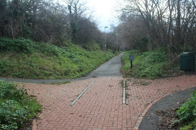
Below - Where the path passes Chapel Street (now Pendyffryn Gardens) a length of rails can be seen. This was the site of Chapel Street Halt, a simple wooden platform on the left hand side just beyond the path crossing here.
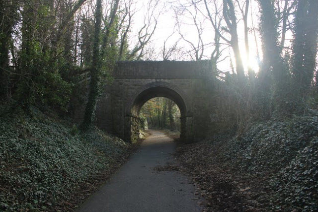
Below - Fforddisa Bridge.

Below - Meliden Road bridge.

Below - Meliden Road bridge looking towards Prestatyn. This was the site of another halt, Rhuddlan Road Halt. Again a simple wooden platform, the path on the right of the photo being the former access to the halt.

Below - Rhuddlan Road halt showing how basic the intermediate stations were. Dyserth itself fared better with a couple of wooden huts. (Photo from dyserth.com)

Below - Ffordd Tanrallt bridge. Just prior to this bridge on the right would have been the Talargogh Lead Mine. This had already gone by the 1912 map though and housing has now been built on the site.

Below - Meliden Goods shed and its loading gauge.

Below - The former Meliden Goods Shed. This is a great stopping point on the walk, information displays can be found inside about the railway line and the local industry it served. There is also a cafe on the upper floor.

Below - The stone lined cutting as the line skirts around Graig Fawr.

Below - Remains of mining on Graig Fawr.

Below - Allt Y Graig bridge.

Below - Remains of footbridge shown on the above map.

Below - Pandy Lane bridge.
Below - A 3/4 Milepost.

Below - The footpath bridge seen just before Dyserth station. Beyond the bridge a line diverged to the right to sidings for Dyserth Stone Quarries & Lime Works.

The footpath follows the course of the quarry sidings branch. Industrial units and car parking now occupy the site of the quarry sidings. There was a tramway from the quarry to the loading facilities at the quarry sidings, though there was no sign of this today. The former Dyserth station site is now occupied by the modern Anglia apartments. A crane from the nearby goods yard has been positioned near the start of the path and restored.
Below - The crane from the nearby station goods yard.

Below - A shot taken in a similar location a century or so before. (from Dyserth.com)

Below - The bridge that gave access to the station, now used to access the Anglia appartments.

Below - The former access to the station goods yard from the main road that passed the end of the line.

Below - It was intended to extend the line in a loop through Marian Mill and Cwm which would have also served more industries in the area. The loop was never built so presumably the industries in the area had to cart their goods too and from Dyserth. Some of the earthworks were started for the extension though and a section survives as a farm track just across the road from the site of Dyserth station.

Below - It is a short walk through Dyserth to the Rhaedr Dyserth Waterfall.


No comments:
Post a Comment