Starting Point - Bradford Interchange Station. Finishing Point - Bradford Forster Square Station. Distance - 5 Miles.
Current Map 1934 Map
Borrowing a 1913 Railway Clearing House map from Wikipedia, the lines I'm going to look at can be seen on the right hand side of the map in the Bradford area.
Interestingly the map shows the proposed Midland line, part of a scheme to link with the Midland main line at Royston. Part of this scheme was constructed between Royston and Thornhill and I mentioned it in last week's post.
Some of the railways I'm looking at in this walk around Bradford are covered in this article on Lost Railways West Yorkshire.
Sticking with old railways that were built, starting at Bradford Interchange station I walked to the nearby site of the earlier Bradford Exchange station. Bradford Exchange was a 10 platform terminus station and following the closure of a number of lines it served in the 1960s a new 4 platform station was built at the other side of Bridge Street to which the line was truncated in 1973. Improved conectivity with the bus network was created with an adjoining bus station saw that station being renamed Bradford Interchange. The old station site was eventually redeveloped and now houses a court house.
Below - Former entrance to Bradford Exchange station. Remnants of the old sign saying 'EXCHANGE STATION' can be seen above.
Below - Former side entrances, with a walled up section.
From Bradford Excange I walked to the site of St Dunstans station. This was once at the junction with the Great Northern Railway's line to Queensbury via Bradford Manchester Road. More information can be found about this station on the Disused Stations website.
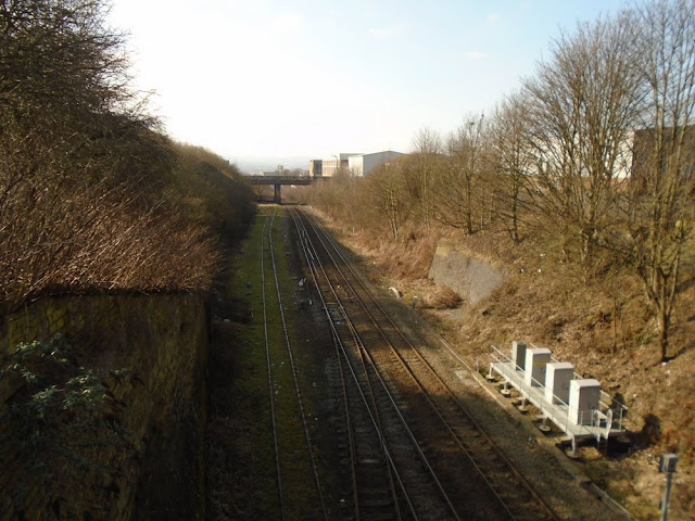
Though the Queensbury lines are gone, the curve from Bradford Interchange to Leeds is still in use. The wall at the back of the Leeds bound platform survives and the old footpaths from the nearby roads are overgrown. The former road entrance to the station yard can also be seen, though a food distribution warehouse is now built on the site of the Queensbury lines platforms.
Continuing to Hall Lane we reach the site of the Bowling Junction Branch. This former Great Northern line connected its station at Laisterdyke with the Lancashire & Yorkshire's line from Bradford Exchange to Halifax without the need to reverse at Bradford Exchange station. It survived for freight in to the mid 1980s and a stub of it survives at the Laisterdyke end to serve a scrap yard, trains having to reverse at Bradford Interchange. At the time of writing there are still paths available for such scrap trains but it is maybe a year or two since any have run.
West of Hall Lane the railway crossed a viaduct which has since been demolished. At the site of Bowling Junction where it met the L&Y line it can be seen where the line diverged as the bridge where New Cross Street crosses the existing line there is a span that crossed the Bowling Junction Branch.
At Hall Lane the remnants of the automatic barriers at the level crossing can still be seen.
I followed this route as near as possible on the nearby roads as it is not possible to walk along the trackbed. The course of the line is intact and its bridges in situ between here and Hall Lane.
Below - Former Bowling Junction Line bridge over Barnard Road.
Below - Bridge across Wakefield Road. This was originally built with a single span but widened with an additional span when Wakefield Road was widened to a dual carriageway. Note the more modern welded construction of one span compared to the riveted construction of the other.
On the east side of the above bridge it can be seen that the abutments are wider than the bridge, that is because this was the site of Bowling Station and the extra width is to allow for the platforms. On the other side of the bridge by peering behind the billboard (and fly tipped rubbish) the steps up to the former station can be seen.
Just east of Bowling station a short branch went off to the Bowling Iron Works, the remains of a bridge over Square Street can be seen.
The former line then crosses Bowling Back Lane.

And Hammerton Street
Hammerton Street actually follows the course of an early colliery tramway that once brought coal into a staith on Leeds Road from a mine in the Bowling area.
Some will be familiar with the name Hammerton Street as a former engine shed and later diesel unit depot. The site of this is now occupied by a bus depot but the old gates on Hammerton Street can be seen, as can the site of the removed bridge span for the railway line in to it.

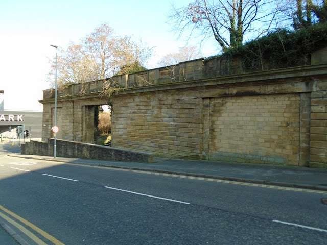
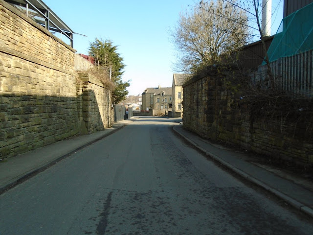
Hammerton Street is also the location where the surviving line into Bradford Exchange / Interchange diverged from the line into the original Adolphus Street station where the Leeds, Bradford & Halifax Junction Railway once terminated. The station was in an inconvenient location for passengers and the railway negotiated access to Bradford Exchange station via the existing line between here and St Dunstans. The link opened in 1867 and Adolphus Street closed to passengers. It remained open for goods for around a century. The former train shed was demolished in 1970 as the Wakefield Road widening clipped an end off the site. Officially it was closed to goods in 1972 but had been disused for a while by that time. Along Dryden Street some of the retaining walls survive.
The ramped road would have provided access to the goods yard and the walled up arch would have accessed the former passenger station.
Following the path up to the former goods yards the remnants of a goods shed wall can be seen.
And the former coal drops are now in use for a number of garages.


One of the big sources of traffic for the Adolphus Street goods depot was the adjacent St James Market. Though the site is now in industrial use today, these cast iron gate post with cow decoration survive at the former gateway to the market's cattle pens.
From the site of Adolphus Street Station I continued to the site of Laisterdyke Station via the local roads, with a little detour to see the bridge over Birksland Street on the Bowling Junction Line.
At Laisterdyke Junction the line from Bowling Junction came in from the left hand side on the picture below, where the single track stub to the scrapyard can now be seen.
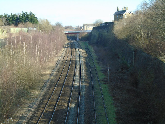
Below - The former station site at Laisterdyke. Note the former stationmaster's house on the top right and the abuttment of the footbridge on the right hand side. Under the bridge in the background the Pudsey loop line diverged.
Below - The former gates of Laisterdyke station on Planetress Road.
From the former Laisterdyke station site I walked back in to Bradford, though this time taking a direct (and downhill) route along Leeds Road. I visited Bradford's other surviving terminus, Forster Square Station.
Like Bradford Interchange, this too has been cut back further from the centre of Bradford. In 1990 a new 3 platform station was built alongside the approaches to the 6 platform former Midland Railway terminus. Though most of the original station was demolished when services transferred to the new station, one of the walls of the old station roof survives, as does the Midland Hotel and some of the walls it shared with the station entrance.
Below - Part of the former station entrance once shared with the surviving Midland Hotel.
Below - Some of the coat of arms details seen on the walls once shared between the station and hotel.
The Midland Hotel and where it adjoined the old station site. The current station is behind the modern office building in the background.
Below - Buffer stop end of the train shed with surviving bits of wall of demolished station buildings.
Below - Surviving train shed wall. On the other side of this wall once stood a large goods shed building, it is now a car park.
Below - Image from Wikipedia showing the inside of the station's train shed after it was rebuilt between 1887 and 1890. In 1953 - 1954 the overall roof was removed and replaced with platform canopies. The wall on the right of this image is the one seen in the above picture.

The map at the start of the page recalls a Midland Railway scheme to extend the Bradford Forster Square line to Low Moor where it would connect with a route to it's main line at Royston south of Wakefield. This would have resulted in Bradford having a through station rather than termini either side of the city centre, however the First World War, followed by the grouping of the railways saw that plan abandoned. Ironically since both termini were relocated slightly further apart all the land between them has been redeveloped, clearly a missed opportunity to provide Bradford with one through station. There is now talk of Bradford having a new through station on a high speed "Northern Powerhouse Rail" line from Leeds to Bradford, though whether high speed rail even reaches Yorkshire remains to be seen.


