Starting Point - The Hollies, Weetwood Lane, Leeds. Circular Walk, Distance 4.3 Miles
On this walk I followed the Meanwood Valley Trail on the All Trails website. I started at the Hollies off Weetwood Lane as shown on the details of the walk.
The area was once quite industrialised with quarries and mills powered by water from the Meanwood Beck. In 1834 land was bought by Edwards Oates who established an "American Garden" along the beck. Edward Oates was the grandfather of Captain Oates who sacrificed himself on Scott's Antarctic mission in 1912 to save slowing the rest of the team down. He left their camp with the famous line "I'm going out, I may be some time."
The walking route passes Hustler's Row, a row of 1847 built houses once occupied by quarry workers.
The most southern point of the walk is close to many of the facilities of Meanwood Park including the cafe housed in another former block of cottages and known as the "Three Cottages." These are shown on the old map next to the number 209. East of the cafe the old map shows a Tannery Square, named after another of the local industries that used bark of trees growing in the area for the tanning proccess. The walking route heads north from cafe though and once in to the woods passes through the quarries shown on the old map. In the smaller quarry shown on the map with the building in the centre remnants of that building survive.


The path crosses the Ring Road and connects to Scotland Mill Lane. Though the Ring Road is new Scotland Mill Lane can be seen on the old map towards the bottom centre of the page. The old lane to the mill diverges from that to Bywaters Farm which is still in existence.
Below - Bridge built over Adel Beck to access the mill with surviving gate posts.

Scotland Mill was established by John Marshall who with the help of engineer Matthew Murray went on to revolutionise the mechanisation of the Flax spinning industry along similar methods to those employed by Richard Arkwright in the Cotton spinning industry. They went on to establish a large mill complex in the Holbeck Area of Leeds close to the city centre. Matthew Murray established his own engineering works alongside Marshall's mills and saw success building steam engines including the first commercially successful steam locomotives. I previously wrote a walking tour on the Leeds Engine website that takes in these and other sights in the Holbeck area.
Though most of the Holbeck mill site survives in various retail and office uses the Scotland Mill site is a ruin, some of the features of the site can be identified though.
Below - Information board at the site of Scotland Mill.

Looking close at the old map a mill stream can be seen approaching the mill from the north, this seems to just stop on the map, though looking at the buildings on the southern edge of the complex it looks like there was an outlet under these buildings with the mill stream running beneath the complex, this would make sense as a mill would generally be built alongside or above a mill stream that supplied the water wheels that supplied its machinery with power.
Below - What the map suggests is a tunnel taking the mill stream beneath the complex.


Below - Next to the tunnel is a block that has been the base of a piece of machinery.

Below - Rubble of some of the mill buildings.


Below - A view of the north eastern edge of the site showing the bridge over Adel Beck. A row of buildings would have stood along the path on the left hand side.

On the northern edge of the Scotland Mill site this small hut can be seen. It is not clear if this is connected with the mill complex or the water main that would have run underground nearby.

Below - Remains of a the weir shown on the above map.

Also shown on the above map is the Seven Arches Aqueduct, already shown as disused at the time the map was published.


Below - The Seven Arches aqueduct.
The path returns to the Ring Road from the aqueduct. The path can be seen on the old map running alongside the mill stream that served Scotland Mill from the weir shown above. At the time of my visit the route was quite muddy but there was no longer water in the former mill steam.
The path crosses under the Ring Road this time and follows what was the lane to Smithy Mills from the east. The former corn mill is now in residential use.
Below - The path crosses the Meanwood Beck close to remains of a weir where the mill steam for Weetwood Dye and Print Works left the beck.
Below - The old map shows several footbridges across the beck. One had obviously been removed here.
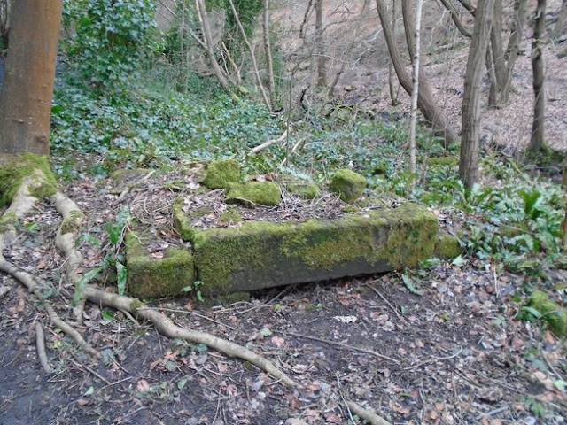
Below - Around the paths up to The Hollies were some remains of a blacksmiths that would have serviced carts and other equipment for the nearby quarries. Most substantial amongst the remains is the trough.
Below - An old mill stone seen on one of the paths.


