Starting Point - Douglas Station. Finishing Point - Site of Peel Station. Distance 11 miles.
It's actually some time since I walked the route of the closed railway from Douglas to Peel on the Isle of Man. On a couple of recent trips I revisited many of the sites of that route whilst doing a couple of other walks. When I originally walked the route I took very few photos so I have used photos here from my more recent visits.
The Douglas to Peel line was the first line of the Isle of Man's railway system, opening in 1873. It closed in 1968 and in recent years the trackbed has been turned in to a footpath. Much more information about the railways on the island can be found on the Disused Stations website. That site also has further details of all the stations I visited on this walk.
Rail Map Online
Douglas
Douglas station is still in use for trains on the surviving route to Port Erin. The station was downsized in the 1970s following the closure of the Peel and Ramsey routes in 1968. Originally it had two island platforms and canopies over the platforms.
Below - Douglas station today. Originally there was another island platform behind the engine, the site of this and the goods yards is now taken up by a bus depot and parking for the railway.
After Douglas station the Port Erin and Peel routes ran parallel for a short distance before diverging where the Port Erin route crosses the River Glass. The stub of the Peel line survives as a siding at the back of Douglas shed and is referred to as "Peel Siding" up to shortly before the routes diverged.
After the routes diverged the trackbed of the Peel line survives but is covered with trees and isn't acceccible. It runs at the back of industrial and retail units on Peel Road. The bridge over the trackbed on Pulrose Road survives.
Quarter Bridge Halt
Where the railway crossed New Castletown Road a halt was provided for motorcycling events. It was only advertised in 1928 and 1929 and no photos are known of it. Nothing remains today except from the crossing keeper's cottage, largely obscured from view by trees now. Between here and Braddon Halt the trackbed has been tarmaced over for use as an access road for the TT races.
Braddon Halt
Braddon Halt just had summer Sunday morning services serving the nearby church. It just had a wooden hut and was accessed by steps from the road bridge. The wooden hut is gone but the steps and bridge survive.
Union Mills
Union Mills was the first proper station out of Douglas. It had two tracks but only had a raised platform in the Peel direction which can still be seen.
Below - As a feature on the footpath and cycle route a former railway hand crane and a replica station sign have been added at the station site.
Below - At the side of the track where passengers boarded for Douglas there was no platform. The station name was displayed in stone which can still be seen. There were a couple of wooden buildings on this side of the track which are no longer there.
Below - The bridge under Union Mills Main Road. The Railway Inn survives on the road just to the left of the shot.
Crosby
The next station was Crosby, just after the crossing on Old Church Road. The memorial playing fields now occupy the station site and no trace of the station remains. Just the crossing keeper's hut survives.
Below - The crossing keepers hut at Crosby.
Below - Bridge over the River Greeba. The bridge is a wooden footbridge but is on the abutments of the old railway bridge.
Glen Helan Halt / Ballacraine Halt
The halt initially served a pleasure ground just outside St Johns between 1876 and 1879. A halt was provided again for motorcycle races in 1927. There are no known pictures of the halt and the only surviving feature is the crossing keeper's hut.
Below - The crossing keeper's hut on Curragh Road.
Below - The bridge that carried the branch from St John's to Foxdale over the Peel line.
St John's
The site of St John's station is now a car park.
Below - Remains of an advertising hording at the station site. This can be seen on old photos of the station site on the
Disused Stations page.
Below - The station site looking along where the Peel bound platform once was towards Peel. The station buildings were provided where the platform met the road. Where the cars are parked was an island platform with trains from Peel to Douglas on this side and trains to Ramsey on the other side.
Below - A station name board in the Manx Museum in Douglas.
Before passing through St John's I took a slight detour to visit Tynwald Hill. The man made mound dates from the 14th Century at the latest. The open air parliament meeting place is used for the ceremony of Tynwald Day on 5th July (or the Monday after if the 5th falls on a weekend) every year, a ceremony with origins in the 10th Century.
Below - Tynwald Hill.
Returning to the railway, just west of the station was the connection to the Foxdale line which had its own platform for St John's just before the junction. Further west of the station was another junction where the Ramsey line left the Peel line.
Below - The junction of the Peel and Ramsey lines. The Peel line crossed the River Neb on the span to the left and the Ramsey line on the slightly higher span on the right as that line gained height to cross Peel Road on a bridge.
Peel
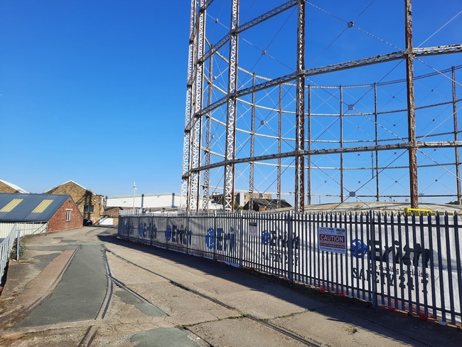
Glenfaba bridge survives and the former route approaches Peel. As it passes the power station the foot and cycle path becomes a roadway.
Below - The crossing on Mill Road. The section of platform is not original, the platform did not reach this far, it has been added as a reminder of the nearby station. The water tower is original though and the lamp on the platform was from the station site. At this end of the site was the engine shed, hence the water tower. The shed stood behind where the carriage is now. Across the road here is the Manx Transport Heritage Museum which wasn't open at the time of my original walk but was open last year when I took these photos on a visit by bus.
Below - The original station buildings survive at Peel and are now incorporated in to the House of Manannan Museum. When I visited last year there was an exhibition in the former station buildings about the railway.
A goods line ran along East Quay for harbour traffic but was probably removed some time before the route closed. Other goods tramways were established on West Quay for the construction of the harbour breakwater.
On my original walk we returned to Douglas by bus. Though the Isle of Man lost the rail connection to it's second biggest town it does have good bus links and thankfully an example of the steam railway survived with the Douglas to Port Erin line.