Starting Point - Rose Grove station. Finishing Point - site of Simonstone. Distance 4 Miles
The Padiham branch (also known as the Great Harwood Loop or North Lancashire Loop) was built to the north of the existing line between Blackburn and Burnley and opened in 1877 to serve a couple of towns and villages missed out by the earlier route through Accrington. It closed to regular passenger traffic in 1957, just seeing occasional holiday traffic until the Beeching report finished the job in 1964 with the line west of Padiham closed completely in 1964. East of Padiham the line was retained for freight traffic to Padiham power station. The power station closed in 1993, it closed at quite short notice resulting in trains of coal being run from the power station to use up the coal stock piles at the power station. The line was steeply graded towards Rose Grove so the fully loaded trains leaving Padiham had to be run in two portions and joined at Rose Grove. The line was not formally closed for a few years and after track was lifted the route east of Padiham was converted to the Padiham Greenway cycle path. Much more about the route can be found in the
Disused Stations article
Rose Grove
The island platform of Rose Grove station remains, the station is now unstaffed and all buildings have been demolished. Also gone are the bay platforms at each end of the station.
Below - The former bay at the east of the station.
Below - The former bay at the west end of the station on the right. It was a bit misty at the time of my visit. This bay would have been used by the trains to and from the Padiham line.
The former trackbed was accessed from Lower Rosegrove Lane and Molly Wood Lane, both of which can be seen on the old map above. The former Rose Grove engine shed has disappeared under the course of the M65 motorway. Once at the former trackbed I doubled back towards the site of the junction.
1931 Map
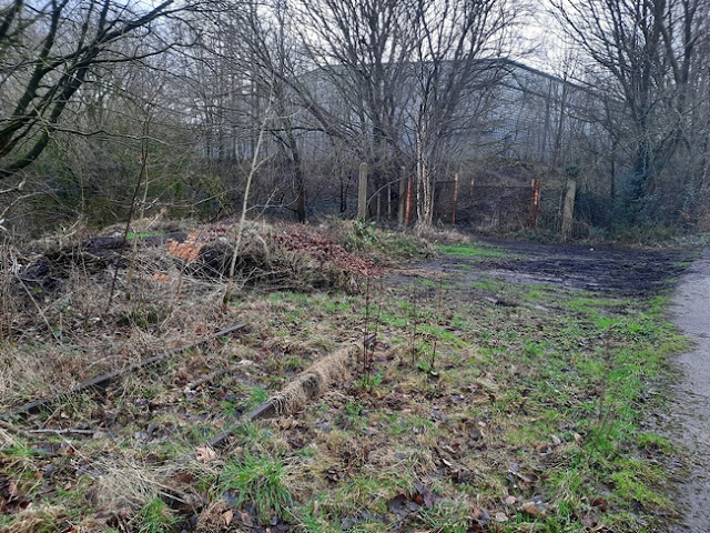
Below - A photo taken through the fencing at the boundary with the line still in use. The stub of the disused line can be seen as a train passed on the surviving line on the right.
Below - Looking towards Padiham from the boundary fence. Signalling troughs can be seen on the right and there is still ballast on this part, the tarmac starts where Molly Wood Lane meets the trackbed and the Greenway begins.
Below - Looking towards the boundary fence, the bridge carrying the surviving line can be seen on the right.
Below - The bridge under the M65.
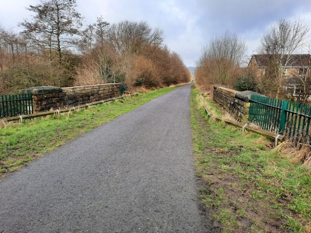
Below - The bridge taking Molly Wood Lane over the former railway.
Below - Pipe bridge and former farm access bridge.
Below - Miners Seat memorial bench.
Below - Bridge taking the railway over Knotts Lane.
Below - Sculpture at the side of the path.
Below - Bridge taking Dryden Street under the railway.
1931 Map
Below - There was previously a subway here at Shakespeare Street but the greenway now crosses at ground level and the subway has been removed, the remains of the abutments can be seen in the walls around the greenway.
Below - The bridge taking the line over Green Lane.
Below - The bridge over Green Brook.
Below - The bridge over Station Road, note the wide abutments for the removed span that carried the lines in to the goods shed.
Padiham
Below - The site of Padiham station, housing has been built on the site of the goods yard on the left. There were no remains of the station.
Below - The viaduct over the River Calder. Unfortunately taken through security fencing as the viaduct has been closed off for safety reasons, note the sunken arch in the middle. The closure of the bridge required a detour via Mill Street, Church Street and the Padiham Memorial Park.
Below - The bridge seen from the Memorial Park. The footbridge alongside was also closed.
Below - The buffer stop and head shunt for the power station sidings to the west of the bridge still in situ.
Below - The gates at the former rail entrance to the power station site. Industrial units have been built on the power station site.
Below - Abutment for a bridge over the railway that connected farmland before the power station was constructed.
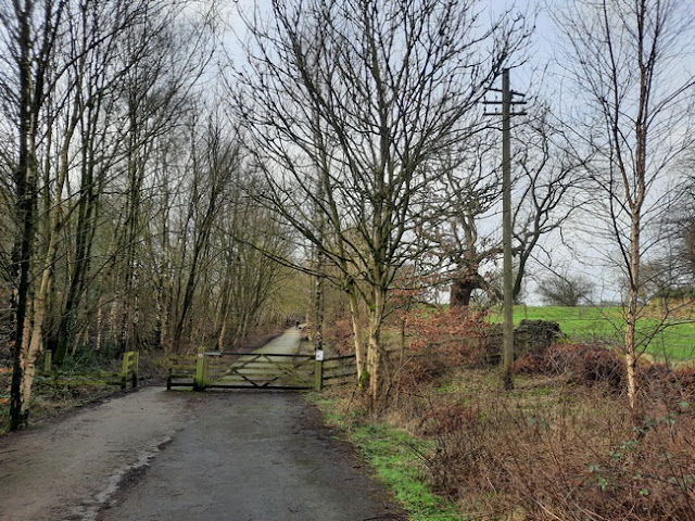
Below - The path along the railway continues towards Simonstone station along part of the course of the section of the route that had closed in 1964, note the telegraph post on the right.
Below - The remains of the bridge that took Old Parsonage Lane over the railway.
Below - The bridge carrying Blackburn Road over the railway. The bridge has been strengthened since the railway was removed.
Below - The path emerges on to the A6068 which had been built after the railway closed. This map on an information board there shows the greenway as being proposed to continue further west along the former railway.
With the site of Simonstone station a short walk away I continued to the site of the station via Blackburn Road and Simonstone Lane. This passes a large former factory that had been built in the 1950s and is now a technology park. When the factory was opened the company asked British Railways to re-time one of the morning trains to better serve the workers, having already decided they wanted to close the line they instead omitted that train's stop at Simonstone so that the workers couldn't use the train at all.
Simonstone
1931 Map
Below - The access to the former Rose Grove bound platform, now used to access a business on the former station site. The old goods shed survives but is not accessible.
Below - The bridge abutments. Steps on the left led to a footpath on the trackbed heading west from Simonstone Lane, this was a recent development as the current maps still showed this section as not being accessible.
Below - Information board on the recently completed section of Martholme Greenway showing details of the Simonstone station site.
Unfortunately with not being sure how far the Martholme Greenway would take me and the maps suggesting there would be a large detour around stretches of trackbed that aren't accessible I figured the journey further west on the Padiham branch would have to wait until I had more time. The remainder of the route features the route's biggest engineering feature, the Martholme Viaduct. This is shown as part of the Martholme Greenway but the path shows as terminating north of the River Calder with no connection to other nearby paths or roads. I returned to Rose Grove the way I had come.


No comments:
Post a Comment